LiDAR Ground Control Targets: What They Are and Why They Matter
LiDAR surveys are known as being fast, detailed, and accurate ground control points. LiDAR data requires physical points of reference to remain consistent. In this case, LiDAR Ground Control Targets are necessary. One advantage of these points is that, whether in bright light or in shadow, they provide accurate, trustworthy information.
This article describes what LiDAR ground control targets are, why they become so important, and why they enhance the quality of LiDAR output in readily understandable and common-sense terms.
What Exactly Are LiDAR Ground Control Targets?
These are physical reference points placed on the ground before a LiDAR survey begins, commonly known as LiDAR survey points. Each target is measured with high precision using GPS or GNSS. These measured points are then compared with the LiDAR data at the final stage of processing.
Imagine them as a reference point to which the software is informed, "this is where we are rightly positioned by means of reference points. Accuracy improves across all available points in the survey area when the LiDAR data are consistent with these known points.
Why LiDAR Data Needs Ground Control
Millions of points are collected by LiDAR either in the air or on the ground. Although this may sound ideal, positioning errors may still occur through:
- GPS drift
- Sensor movement
- Flight path changes
- Area complexity
Ground control targets are used to identify and fix these problems. In their absence, errors may propagate throughout the dataset, affecting measurements, distances, and elevations.
Professional projects are easily affected by minor mistakes, resulting in costly errors.
How Ground Control Targets Improve Accuracy
Players of ground control are directly involved in enhancing horizontal and vertical accuracy. During data processing, the surveyors will cross-check the LiDAR-derived position of each target against the known position.
This comparison helps to:
- Adjust alignment errors
- Correct elevation shifts
- Check the end of measurements.
- Ensure consistency throughout the site.
The outcome is data that reflects the actual ground conditions, not estimated positions.
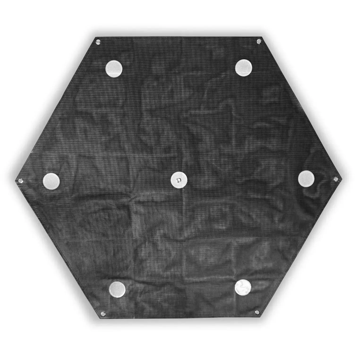
Common Types of LiDAR Ground Control Targets
Various projects have different target types based on visibility and terrain requirements. Common options include:
- High-contrast targets are produced on a flat panel.
- Checkerboard-style targets
- Easy-to-detect reflective targets.
- Markers: Temporarily painted grounds on the ground.
These objectives are intended to be easily identified in LiDAR scans, enabling quick detection during processing.
Proper Placement Makes a Big Difference
Setting goals randomly may affect performance. Proper mapping is very important when placing these points. Targets should be:
- Scattered throughout the survey area.
- Laid on a firm and flat surface.
- Shadows, trees, and obstructions have gone.
- It can be seen at various scan angles.
Using too few targets or incorrect target locations can degrade accuracy, even if the LiDAR system itself is high quality.
Ground Control Targets and Data Verification
A significant advantage of ground control targets is the ability to check data. Survey teams also use these targets to verify that the dataset is accurate after the processing.
This step helps:
- Develop trust in the outputs.
- Detect problems early
- Avoid rework or resurveying
- Quality assurance report on the support.
Approved data is simpler to endorse, disseminate, and apply in the actual planning.
Why Many Industries Depend on Ground Control
Ground control targets become particularly significant in projects where precision is of utmost importance, such as:
- Construction planning
- Engineering design
- Infrastructure development
- Flood modeling
- Land and boundary surveys
Inaccurate data in such areas may lead to delays, safety issues, and financial losses. The ground control targets minimize those risks by increasing data reliability.
Mistakes That Reduce Target Effectiveness
Although goals are easy to set, errors can undermine their value. Common issues include:
- Setting the targets on a surface that is not flat.
- Calculation of coordinates is inaccurate.
- Application of insufficient targets in big regions.
- Ignoring land changes
The appropriate installation and measurement must be performed to ensure the targets deliver the accuracy they are intended to provide.
Are Ground Control Targets Worth the Extra Effort?
Some people consider this just for a helping material for mapping. In fact, it is time and money-saving. Proper data translates to fewer corrections, fewer huddles for approvals, and decision-making.
Ground control targets are not an option for any project that relies on LiDAR reliability. They form a basis of quality.
Final Thoughts
LiDAR Ground Control Targets are those that might not be visible in the final maps, yet they will always have an effect. They transform raw scans into usable data. They ensure the reliability and professionalism of LiDAR data by enhancing alignment and validation, and thereby improving accuracy.
FAQs
Why are LiDAR ground control targets important?
They provide accurate, practical points of reference that aid in validating LiDAR data during processing.
Is it possible to accomplish LiDAR surveys without ground control targets?
Yes, but accuracy may suffer. For professional or regulated projects, ground control targets are strongly encouraged.


0 Comments